


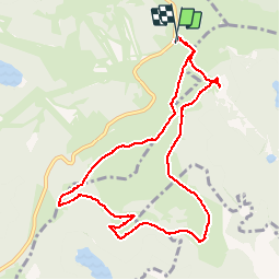


23 km | 36 km-effort

User


FREE GPS app for hiking
 SityTrail
IGN / Geographical institutes
SityTrail World
The world is yours!
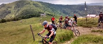
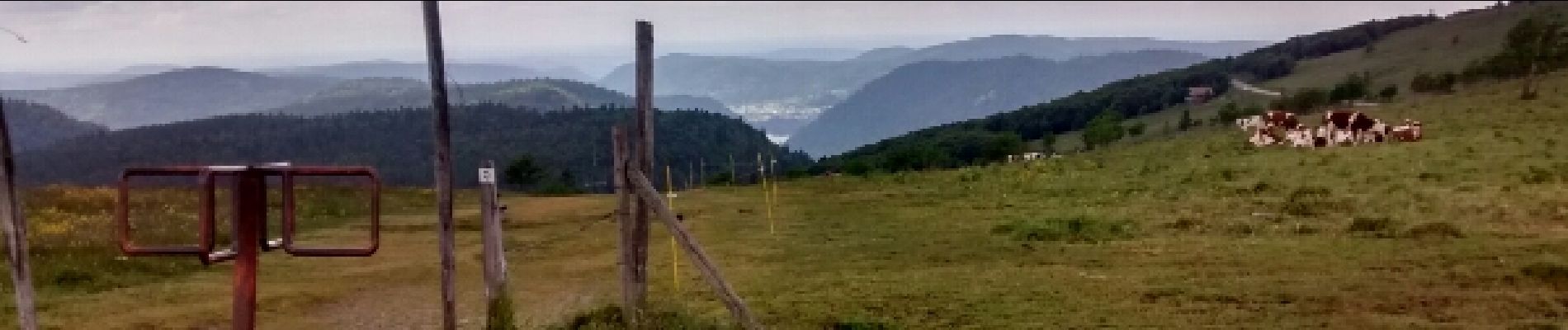
Trail Walking of 9.6 km to be discovered at Grand Est, Vosges, La Bresse. This trail is proposed by jeanclaude12.
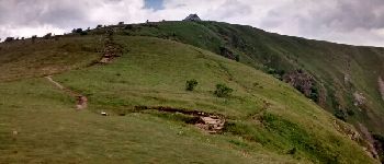
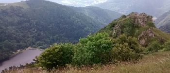
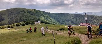
Belle randonnée très aérienne au départ du Hohneck pour le tour du Kastelberg par le Sentier des Névés. Les chaumes du Kastelberg accueillent une flore subalpine très intéressante : grande gentiane jaune, renouée bistorte, arnica montana...


Walking

Walking

Walking

Walking

Walking

Walking

Walking

Walking

Walking